Geospatial and Smart Sensors
For Environmental Applications
Research Laboratory
Pioneering Advanced Research in Geospatial Information and Smart Sensor Technologies
Located within the CAMPUS Research Institute of the University Politehnica of Bucharest, GEOSENSE is an interdisciplinary laboratory dedicated to advanced and applied research in geospatial technologies and IoT (Internet of Things).
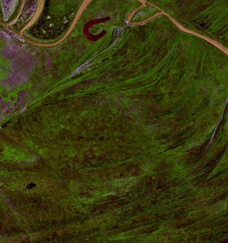
The laboratory integrates modern tools for analyzing complex data, such as geographic information systems (GIS), remote sensing platforms (satellite images, UAVs), wireless sensor networks (WSN), and artificial intelligence (AI) algorithms.
GEOSENSE facilitates the transition from advanced research to operational solutions. We actively collaborate with communities, organizations, and industry to translate our knowledge into practical solutions.
Research Themes / Expertise / Applications
The research themes and expertise of the GEOSENSE Lab focus on the intelligent use of geospatial technologies, combining spatial data analysis with automated, predictive, and optimized processes. The concept of ‘Smart Geospatial’ integrates artificial intelligence (AI) and machine learning (ML) for satellite and UAV imagery analysis, automation through IoT sensor networks that collect geospatial data in real-time, predictive capabilities for assessing environmental risks or agricultural productivity, and advanced visualization using interactive maps and intelligent GIS platforms.
The lab’s applications span multiple domains, including:
Biodiversity Monitoring: Automatically detecting ecosystem changes, protecting habitats, and tracking endangered species through satellite imagery and environmental sensors.
Sustainable Urban Planning: Developing geospatial solutions for green infrastructure, optimizing land use, and minimizing ecosystem impacts.
Natural Hazard Management: Predicting floods, landslides, and other extreme phenomena by integrating data from climate, hydrological, and topographic sources.
Climate Change Monitoring: Analyzing climate trends and their impacts on ecosystems and natural resources.
Natural Resource Management: Supporting efficient and sustainable use of resources such as water, soil, and forests through advanced geospatial analysis techniques.
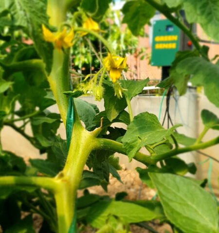
Smart Agriculture: Optimizing resource management using sensors and drones for productivity mapping, soil and climate condition monitoring, and data-driven decision-making.
Through these applications, the lab contributes to the development of sustainable and scalable solutions, addressing current challenges, and providing innovative tools for data-drivendecisions


