Pioneering Advanced Research in Geospatial Information and Smart Sensor Technologies
Geosense is an interdisciplinary research laboratory within Campus Research Institute, Faculty of Electronics, Telecommunications and Information Technology, NUST Politehnica Bucharest.
The lab focuses on developing AI-driven methods for understanding environmental processes through Earth Observation, sensing technologies, and data analytics. By integrating satellite imagery, UAV data, in-situ sensors, and climate information, Geosense builds intelligent systems that transform environmental data into actionable knowledge.
Our research addresses key societal challenges such as sustainable agriculture, biodiversity monitoring, environmental risk assessment, and climate adaptation.
Mission
Geosense aims to bridge research, technology, and real-world environmental applications, developing scalable AI solutions that support sustainable ecosystem management and evidence-based decision making.
The laboratory collaborates with European research programs, public institutions, industry partners, and local communities to translate scientific innovation into operational tools.
Core technologies
GeoSense combines multiple technological domains to enable environmental intelligence:
Earth Observation analytics using satellite and UAV imagery
Sensor networks and IoT platforms for in-situ environmental monitoring
Artificial Intelligence and machine learning for geospatial data analysis
Multimodal data fusion integrating satellite, sensor, and climate data
Explainable AI (XAI) for transparent environmental decision systems
Spatio-temporal modelling of environmental processes
Research directions
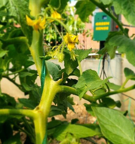
Digital Agriculture: AI-driven analysis of satellite and sensor data for crop monitoring, irrigation optimization, and climate-risk assessment.
Urban and Regional Environmental Analytics: Geospatial analytics for sustainable urban development and environmental monitoring.
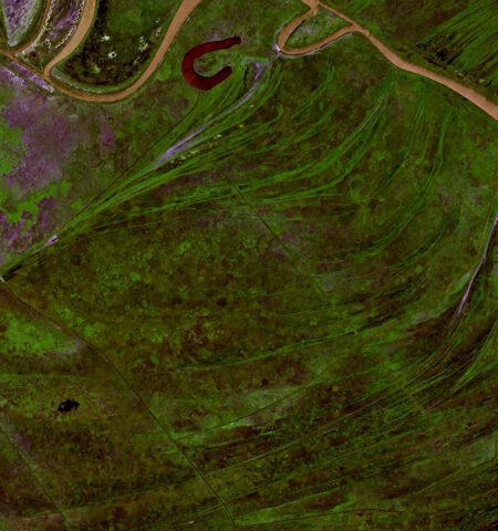
Biodiversity and Ecosystem Monitoring:Remote sensing and sensor networks for tracking habitat changes and environmental stress.
Data fusion: Integration of Earth Observation, climate models, and in-situ data into digital ecosystem models.
Environmental Intelligence Platforms: Interactive AI systems that transform complex environmental data into decision-support tools.
Through these applications, the lab contributes to the development of sustainable and scalable solutions, addressing current challenges, and providing innovative tools for data-driven decisions.